

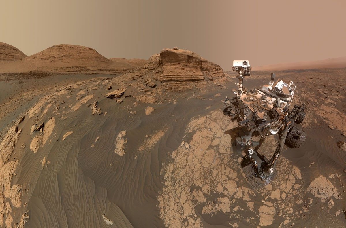
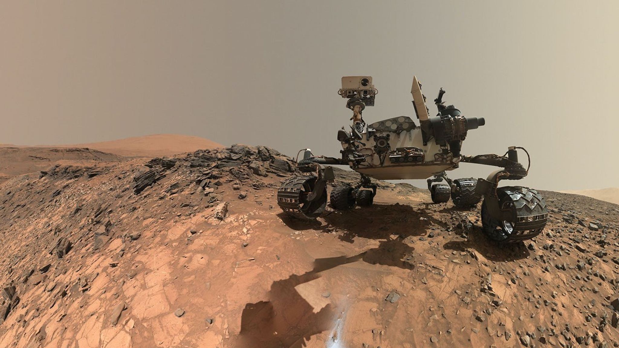
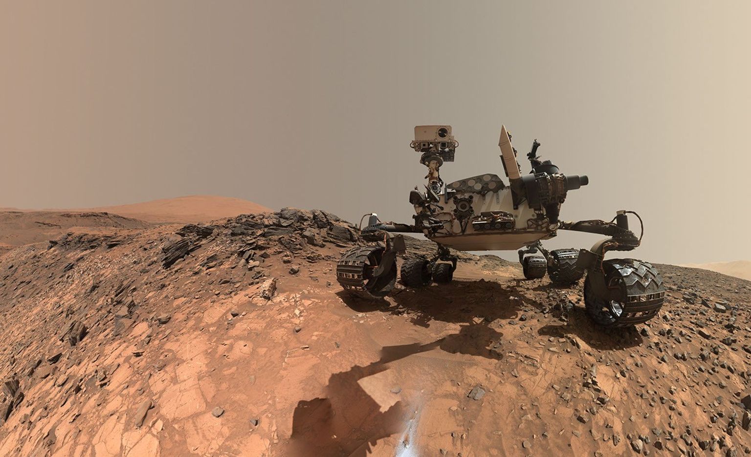
On Mars, **Curiosity** continues to showcase remarkable ingenuity and perseverance, echoing the spirit of its Mars 2020 siblings, the **Ingenuity** helicopter and **Perseverance** rover. Over sols 4886 to 4892, the rover demonstrated a masterclass in engineering precision and scientific inquiry by recovering its stuck drill and performing detailed geological investigations in the Gale Crater region.
Ingenuity in Action: Freeing Curiosity’s Drill
Curiosity’s drill, essential for sampling Martian rock, became lodged at the “Atacama” target. The engineering team orchestrated a meticulous sequence of arm motions—twisting, bending, and turning—to successfully dislodge the rock slab that had trapped the drill. This carefully planned maneuver required both skillful robotics and deep understanding of the rover’s mechanical limits, exemplifying the innovation behind Mars exploration technology.
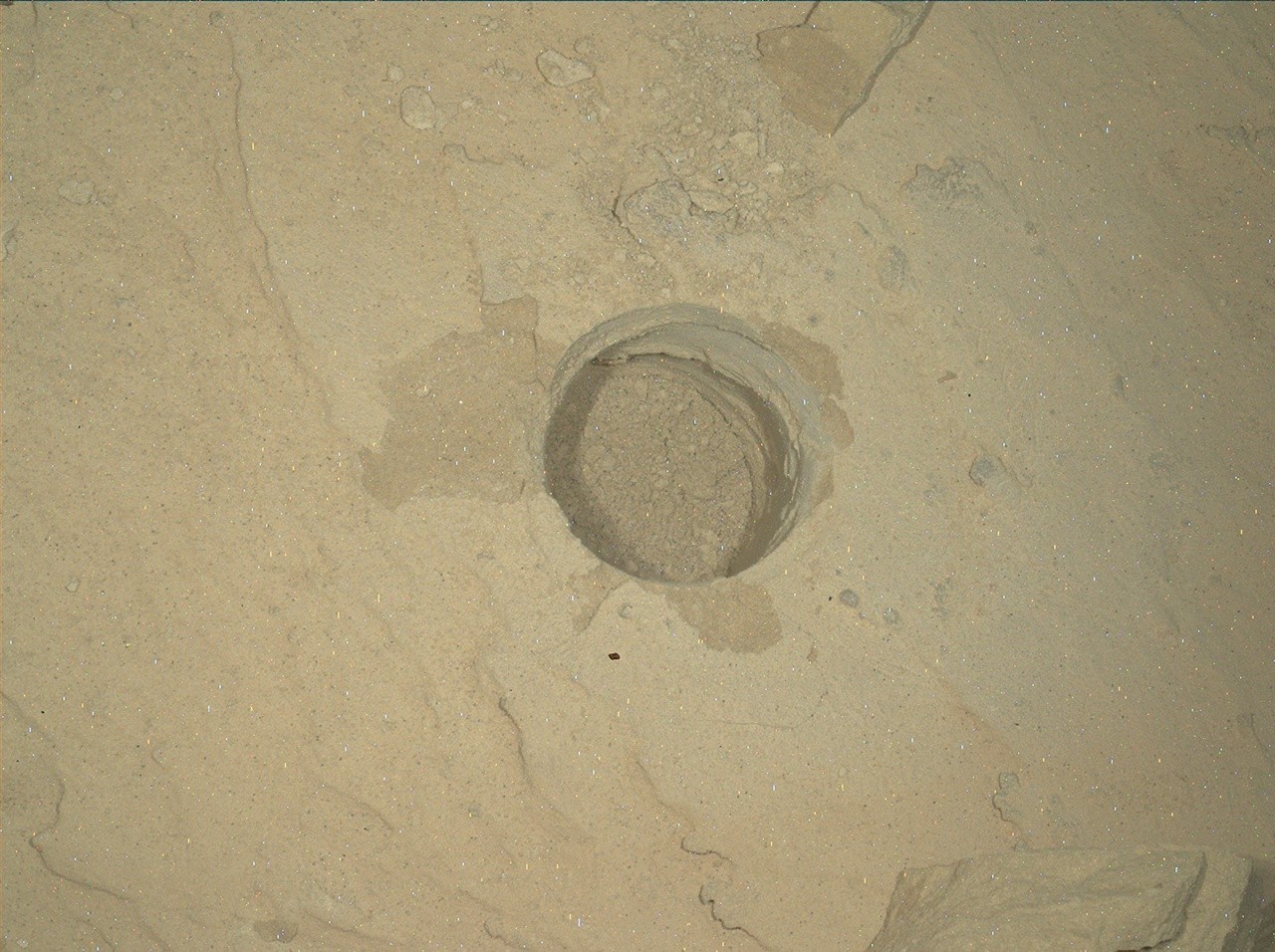
Once freed, Curiosity employed multiple instruments to scrutinize the aftermath of the drill operation. The **Mast Camera (Mastcam)** and **Chemistry and Camera complex Remote Micro-Imager (ChemCam RMI)** captured detailed images of the drill and surrounding rock surfaces, while the **Mars Hand Lens Imager (MAHLI)** peered into the now-empty drill hole. These images reveal fresh fractures and newly exposed sand beneath the Atacama slab, offering scientists pristine material for analysis.
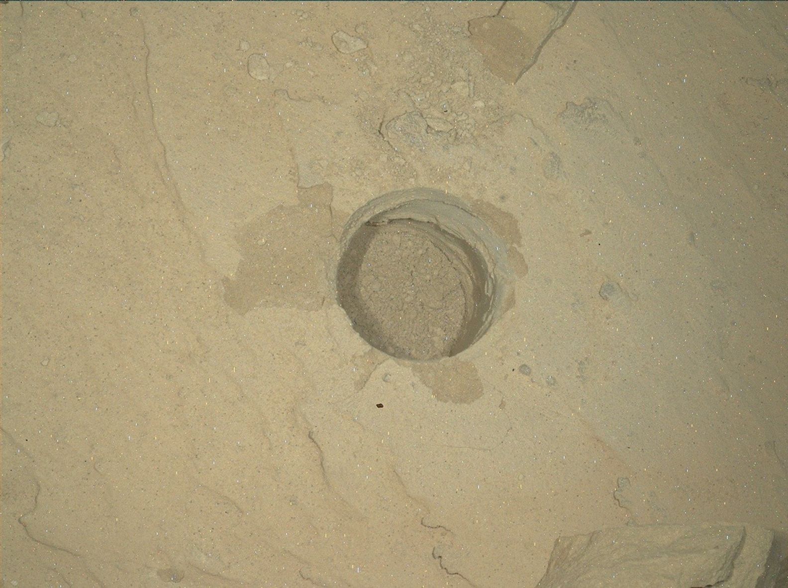
The rover’s **ChemCam** targeted clean fracture faces with laser-induced breakdown spectroscopy (LIBS) at sites named “Tamarugal” and “Tamarugo.” It also examined a lighter-toned patch of bedrock called “Colchane,” previously hidden beneath Atacama. Meanwhile, MAHLI and the **Alpha Particle X-Ray Spectrometer (APXS)** analyzed sand near Colchane at the “Yerba Loca” target, providing complementary compositional data.
Expanding the Geological Survey: From Buttes to Bedrock Contacts
Beyond the immediate drill site, Curiosity’s cameras focused on the towering buttes that dominate the Martian landscape along the rover’s current and planned routes. Mastcam documented polygonal fractures at “Cerro Elefantes” and “Azul Pampa,” geological features that hint at the planet’s climatic and tectonic history. The rover also monitored wind-driven changes in surface sand at “Playa los Metales,” helping scientists understand present-day aeolian processes.
ChemCam conducted a passive spectroscopy observation of light-toned features on the “Paniri” butte and examined a potential meteorite named “Isla Mocha” with LIBS, expanding the range of Martian rock types under investigation.
Engineering teams directed Curiosity to ascend a slope to examine the contact zone between two distinct rock types—a lighter-toned, layered formation dubbed “Toro” and a darker, flaky rock named “Inca de Oro.” Such contacts can reveal shifts in environmental conditions or interruptions in geological timelines, making them critical to understanding Mars’ history.
At these sites, MAHLI, APXS, and ChemCam collaborated to gather high-resolution images and compositional data, while Mastcam constructed multiple mosaics to capture the structural transitions along the contact. This integrated approach offers a comprehensive view of the Martian stratigraphy and mineralogy.
Continuous Environmental Monitoring and Future Prospects
Throughout these operations, Curiosity’s environmental instruments—**Rover Environmental Monitoring Station (REMS)**, **Radiation Assessment Detector (RAD)**, and **Dynamic Albedo of Neutrons (DAN)**—collected vital data on atmospheric conditions and subsurface radiation levels. Meanwhile, **Navcam** and Mastcam monitored clouds, dust devils, and airborne dust, providing context for surface weather patterns critical to mission planning.
With the drill and robotic arm verified to be fully operational post-recovery, Curiosity pressed onward, navigating toward a promising new workspace featuring a larger rock block suitable for drilling. This forward momentum epitomizes the rover’s steadfast perseverance in unraveling Mars’ geological secrets despite mechanical setbacks.
Why This Matters: Unlocking Mars’ Geological and Climatic Past
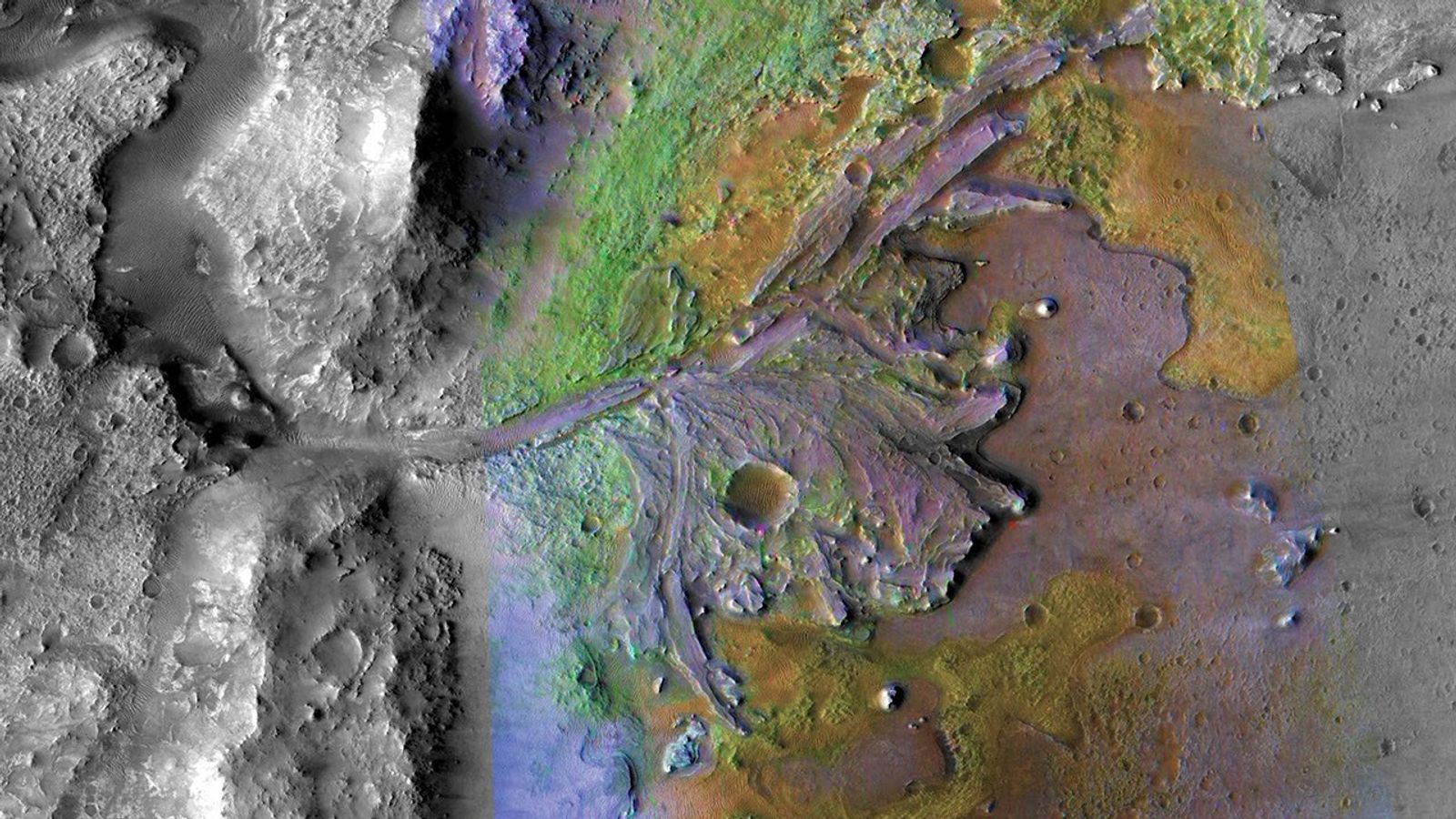
Curiosity’s recent drill recovery and subsequent rock analyses demonstrate how resilience and innovation drive Mars exploration forward. Each successful drill hole and rock survey adds pieces to the complex puzzle of Mars’ environmental history, revealing clues about ancient water activity, sediment deposition, and potential habitability.
The contact zone between different rock types, for example, may indicate shifts in past climate or volcanic events, helping scientists reconstruct Mars’ dynamic past. Meanwhile, observations of current atmospheric processes like dust movement inform understanding of ongoing surface changes and mission safety.
As Curiosity advances toward new targets, its blend of engineering excellence and scientific rigor continues to yield invaluable insights, paving the way for future exploration missions and, ultimately, human presence on the Red Planet.
Curiosity’s journey embodies the spirit of exploration: persistent, innovative, and ever-curious.