

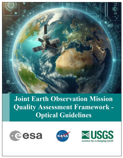
The collaboration between NASA, the European Space Agency (ESA), and the U.S. Geological Survey (USGS) has taken a significant step forward in enhancing the reliability of commercial Earth observation data. On April 26, 2026, these agencies jointly released the Joint Earth Observation Mission Quality Assessment Framework – Optical Guidelines, a pivotal document establishing rigorous standards for evaluating the quality of optical sensor data from satellite missions.
What the Optical Guidelines Document Entails
The newly published Optical Guidelines serve as a comprehensive resource detailing the criteria and processes used to verify that commercial satellite optical sensors deliver data that meets their stated performance benchmarks. It synthesizes the goals of the broader Joint Earth Observation Mission Quality Assessment Framework by focusing specifically on the optical domain, which involves sensors capturing visible and near-visible light from Earth’s surface and atmosphere.
This document outlines how mission quality is demonstrated through thorough documentation, prescribing standardized methods to assess both radiometric (the accuracy of the sensor’s light measurements) and geometric (the spatial accuracy of imagery) calibration and validation. Its appendices provide detailed insights into common calibration practices, ensuring consistent implementation across diverse optical missions.
Dana Ostrenga, Project Manager for NASA’s Commercial Satellite Data Acquisition (CSDA) program, emphasized the importance of transparency and user confidence: “The release of these joint guidelines for EO data from optical missions both documents the rigorous standards we have for commercial data and bolsters the confidence of the user community in the CSDA’s commercial data acquisitions. By releasing this document to the public, we’re giving end-users the opportunity to review the approach for verifying whether the quality of commercial EO data is consistent with the stated performance of the mission.”


Background: The Growing Role of Commercial Earth Observation Data
Earth observation (EO) data, collected by satellites monitoring the planet’s environment, atmosphere, and surface, has become indispensable for climate research, disaster response, agriculture, urban planning, and more. Traditionally dominated by government-operated satellites, the EO landscape has rapidly evolved due to the emergence of commercial satellite operators offering cost-effective, high-resolution data.
The proliferation of commercial EO satellite systems is driven by advances in low-cost launch technology and miniaturized sensor platforms. This growth creates both opportunities and challenges: while it expands data availability, it also demands a robust framework to ensure data quality and interoperability with existing trusted datasets.
Recognizing this necessity, ESA established the Earthnet Data Assessment Project (EDAP) to conduct early-stage quality evaluations of EO mission datasets, particularly those from commercial providers. ESA’s collaboration with NASA and USGS underpins the Joint Earth Observation Mission Quality Assessment Framework, which has been tailored to various sensor types, including atmospheric, synthetic aperture radar (SAR), thermal infrared, and now optical sensors.

How the Framework Enhances Commercial Data Reliability
The Joint Earth Observation Mission Quality Assessment Framework forms the backbone of NASA’s CSDA program’s rigorous evaluation process. It integrates several critical components to ensure data integrity and usability:

- Geometric and Radiometric Quality Assessment: Confirming spatial and spectral accuracy against established reference datasets.
- Validation Procedures: Utilizing ground truth and cross-comparison techniques to authenticate the data’s reliability.
- Comprehensive Documentation: Ensuring datasets include clear, traceable metadata to facilitate transparency and reproducibility.
- Data Accessibility and Utility: Evaluating how easily end-users can obtain and apply the data for scientific research and operational applications.
This standardized, transparent, and repeatable approach not only aids mission selection and data integration but also fosters trust between commercial providers and the scientific community. It supports interoperability, enabling seamless use of commercial data alongside governmental and international datasets.
The framework’s adaptability allows it to evolve alongside technological advances and the expanding range of EO applications, positioning it as a dynamic tool for future mission assessments.

Why This Development Matters
The release of the Optical Guidelines marks a milestone in advancing the use of commercial Earth observation data for scientific and operational purposes. By establishing clear, industry-wide standards for data quality assessment, NASA, ESA, and USGS are paving the way for increased confidence in and adoption of commercial EO products.
For researchers, policymakers, and commercial users, this means more dependable access to critical environmental data, facilitating better-informed decisions on climate change, natural resource management, disaster response, and urban development. For commercial satellite operators, the guidelines provide a transparent benchmark to demonstrate the value and reliability of their data offerings.
Looking ahead, the commitment of these agencies to regularly update the guidelines ensures the framework will keep pace with evolving technologies and user needs, further strengthening the global Earth observation ecosystem.
Looking Forward
The joint efforts of NASA, ESA, and USGS through the Commercial Satellite Data Acquisition program and the Earthnet Data Assessment Project represent a strategic investment in the future of Earth observation. The Optical Guidelines document is a foundational tool empowering stakeholders to confidently use commercial optical satellite data, enhancing the accuracy and impact of environmental monitoring worldwide.
As the commercial EO market continues to expand, such frameworks will remain essential in maintaining data quality, fostering innovation, and supporting the vital scientific and operational missions that rely on timely, accurate Earth observation information.