

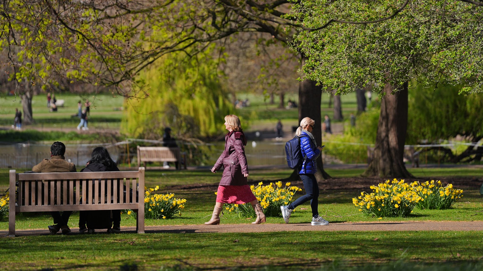
The UK is shifting dramatically from the fierce winds of Storm Dave to a spell of unseasonal warmth, with forecasts predicting the warmest start to April in six years. Temperatures are expected to surge to as high as 24°C (75°F), well above the typical early April averages across much of the country.
From Stormy Easter to Sunny Skies
Just days after Storm Dave battered the UK with winds reaching 70 mph, causing widespread disruption and damage, a significant weather turnaround is underway. The storm’s impact on Easter weekend contrasted sharply with the current outlook, which promises bright, sunny days and rising mercury levels.
Western Wales is poised to enjoy the best of this warm spell, potentially surpassing last week’s highest recorded temperature of 20.9°C (70°F) in Worcestershire. Experts anticipate tomorrow could be even hotter, with temperatures climbing further before a sharp dip later in the week.
Why Are Temperatures Climbing So High?
Met Office meteorologist Greg Dewhurst explains that this surge in warmth is due to a combination of factors. “The wind is coming in from a southerly direction, and with not many clouds around, it should be well above the early April average,” he said.
Normally, early April temperatures hover around 15°C (59°F), making this week’s warmth quite unusual. The last time the UK experienced similar early-April highs was in 2020, when Cornwall recorded an exceptional 26°C (78.8°F).
This warm southerly airflow is a key driver, bringing mild air from lower latitudes. Light winds and clear skies further amplify daytime heating, pushing temperatures into the mid-20s Celsius in some regions.

What This Means for the Week Ahead
While the warmth offers a welcome reprieve for many, it also carries some drawbacks. A “very high” red pollen warning is currently in place across England and Wales, with tree pollen counts especially elevated. Hayfever sufferers should brace for intensified symptoms, as the light winds allow pollen to linger in the air longer.
Looking beyond tomorrow, the Met Office anticipates a cooling trend starting Thursday. “Temperatures will return to normal for this time of year as the weather becomes more changeable, with rain and showers moving in,” a spokesperson said.
By the weekend, northern regions can expect daytime highs around 10°C (50°F), while southern areas will see slightly milder conditions near 14°C (57°F). This return to typical spring temperatures will bring a more unsettled pattern, ending the brief warm spell.
Why This Warm Start to April Matters
This early-season temperature spike highlights the significant variability in the UK’s spring weather, driven largely by shifting wind patterns. While such warm spells can boost outdoor activities and elevate moods after a stormy Easter, they also remind us of the challenges posed by fluctuating weather conditions.
Farmers and gardeners may benefit from the warmth, encouraging early growth, but the elevated pollen levels present health challenges. Additionally, the sudden transition back to cooler, wetter weather underscores spring’s unpredictability in the UK climate system.
As the week progresses, residents should prepare for both the warmth and the upcoming change, monitoring forecasts closely to adapt plans accordingly.
In summary, the UK is enjoying a remarkable, albeit brief, warm spell—the warmest early April stretch in six years—before temperatures normalize with the arrival of more typical spring weather later this week.